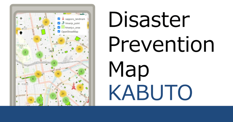
Disaster Prevention Map ~KABUTO~

This map shows evacuation centers and landmarks in Sapporo City.
This map can be viewed on your smartphone.
Landmark location information is included so that even
if you are not familiar with the area, you can get directions to some extent.
Click the link below to jump to the map.
How to use this map
①Tap the pin on the top left to get location information.
②Decide which evacuation center to go to.
③Tap the landmarks up to the evacuation center to make a pop.
④There are images on the popup page,
so you can proceed by relying on them.
(Due to copyright issues, some images may not be included).
⑤If you press the "⊕" mark at the bottom right, a message will appear.
It would be a good idea to show this to the people around you.
⑥By showing the message along with the image,
there is a higher chance
that someone will take you to the evacuation center.

Let's use map
Lastly…
This map was created by a civilian.
This map is also still in the idea stage.
In the future, we plan to supplement the missing images and functions.
この記事が気に入ったらサポートをしてみませんか?